
- Home
- Morecambe & Heysham
- Historic Lancaster
- Lune Valley & Countryside
- Carnforth & Surrounding Area
- Accommodation
- What to See and Do
- Food and Drink
- Festivals and Events
- Towns & Villages
- Brochure and Leaflet Request
- Contact Us
- Maps and Travel
- Books and Gifts
- Conferences
- Interesting Facts and Figures
- Group Visits
- Useful Links
- Downloads
- Industry Pages

Ordnance Survey maps
Ordnance Survey maps of the region:
Lancaster, Morecambe and Fleetwood
£7.99 (plus postage) |
|
|---|
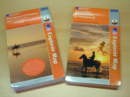 | Blackpool, Preston, Lytham St Anne's and Leyland
|
|---|
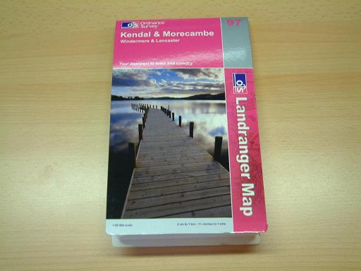
Kendal, Morecambe, Windermere and Lancaster
|  |
|---|
 | | | Bowland, Ribblesdale, Pendle Hill, Clitheroe, Settle
|
|---|
West Pennine Moors, Blackburn, Darwen, Accrington The essential map for outdoor activities. £7.99 (plus postage) | |
|---|
| Yorkshire Dales, Whernside, Ingleborough, Pen-Y-Ghent The essential map for outdoor activities. |
|---|
English Lakes North East Area The essential map for outdoor activities. | 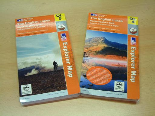 |
|---|
| English Lakes North West Area The essential map for outdoor activities. |
|---|
English Lakes South East Area The essential map for outdoor activities. | 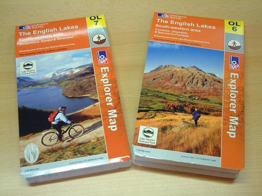 |
|---|
| English Lakes South West Area The essential map for outdoor activities. |
|---|
Manchester, Bolton, Warrington
Add Manchester, Bolton, Warrington to Basket | 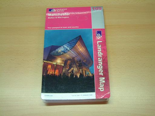 |
|---|
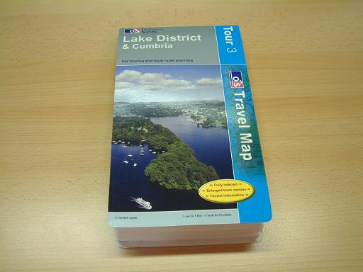 | The Lake District & Cumbria
|
|---|
Browse MORECAMBE PICTURES, PRINTS AND POSTCARDS here
Browse MORECAMBE GIFTS AND SOUVENIRS here
Browse MORECAMBE BOOKS AND MAPS here
Browse LANCASTER SWEETS, MUGS AND POTTERY here
Browse LANCASTER GIFTS AND SOUVENIRS here
Browse LANCASHIRE BOOKS AND MAPS here
Highlights This Month
- Events Throughout the Year at Williamson Park 1/1/2007
- Pendle Witches Mini-Bus Tour 31/3/2007
- Grin up North 1/4/2007
- VELOCITY Festival of Digital Culture 11/10/2007
Highlights Next Month


© Copyright 2006 Lancaster City Council
All rights reserved